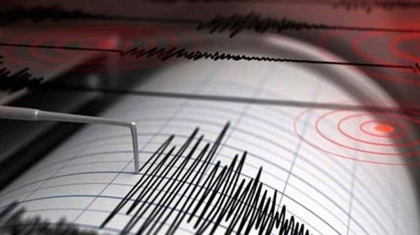
Delhi finds itself situated in an active seismic zone, primarily due to its geographical location near the Himalayan Mountain range and the presence of fault lines surrounding the Delhi National Capital Region (NCR). According to experts at the National Centre for Seismology (NCS), Delhi falls under seismic zone IV, warranting a state of heightened awareness. However, it is essential for both the populace and local authorities to acknowledge that earthquakes cannot be predicted, leaving any time for advanced preparation.
"We cannot forecast earthquakes. There is no technology to do that. It depends on when accumulated energy is released and at which fault. In the past few years, we saw epicenters near Delhi in 2008 and again in 2020. Several weak zones and faults are near Delhi, such as the Delhi-Haridwar ridge, Mahendragarh-Dehradun subsurface fault, Moradabad fault, Sohna fault, great boundary fault, Delhi-Sargodha ridge, Yamuna River lineament, Ganga River lineament, among others," explained JL Gautam, head of the NCS.
Furthermore, Gautam added, "More importantly, Delhi NCR is located near the Himalayas, which is a seismically active zone, as we have explained in our report on Tuesday's earthquake."
The Himalayan region's seismic activity arises from collisional tectonics, where the Indian plate subducts beneath the Eurasian Plate.
Recent seismic events have highlighted Delhi's vulnerability. Between March 24 and June 3, Delhi-NCR experienced at least 14 earthquakes, with a magnitude 3.0 earthquake recorded near Gautam Budh Nagar.
On a recent Tuesday, a 6.2 magnitude earthquake struck Nepal, with tremors felt across northern India, including Delhi, the NCR, Bihar, and Uttar Pradesh, at 2:51 pm.
The NCS's report on Tuesday's earthquake noted, "It is noteworthy that before the main shock, three prominent events recorded on November 9, 2022, of M 6.3, January 24, 2023, of M 5.8, and February 22, 2023, of M 4.4 within 50 square km of today's events were also felt with slight to moderate intensity in Delhi-NCR and other neighboring states."
The report further stated, "The occurrence of earthquakes in the region is attributed mainly to the tectonic settings of the Himalaya, comprising Himalayan Frontal Thrust (HFT), Main Boundary Thrust (MBT), and Main Central Thrust (MCT), besides several local faults and geological demarcated lineaments. The neighboring states of India that felt earthquake shaking fall under the seismic hazard zones V and IV."
On April 9, 2021, a statement by the Science and Technology Department revealed that the Himalayas are not uniform and exhibit different physical and mechanical properties in different directions—a characteristic called anisotropy. This phenomenon could lead to significantly large earthquake events in the Himalayas.
"The NW region of India, an area covering Garhwal and Himachal Pradesh, has been hit by four destructive moderate to great earthquakes since the beginning of the 20th century—the Kangra earthquake of 1905, the Kinnaur earthquake of 1975, the Uttarkashi earthquake of 1991, and the Chamoli earthquake of 1999," stated the report by DST and Wadia Institute of Himalayan Geology.
"These seismic activities manifest large-scale subsurface deformation and weak zones, underlining the need for deeper insights into the ongoing deformation beneath these tectonically unstable zones," it added.
Historically, five earthquakes with Richter Magnitude ranging from 5.5 to 6.7 are known to have occurred in the Delhi NCR region since 1720. Two major lineaments, namely the Delhi-Haridwar ridge and Delhi-Moradabad faults, pass through the territory, both having the potential to generate earthquakes. It is prudent for the Delhi Disaster Management Authority to consider the effects of such potential earthquakes when developing prevention and preparedness plans.


